About Sendero Maps
Trails are more than lines on a map. They're places where history, landscape, and personal experience intersect.
Sendero started with a simple idea: the best trails deserve better stories, better navigation, and better tools for the people exploring them.
I've always believed that trails are more than lines on a map. They're places where history, landscape, and personal experience intersect. Whether you're hiking, biking, or just getting outside for a quiet reset, knowing where you are and what you're passing through changes how you experience the trail.
Sendero was built to bridge the gap between raw map data and meaningful exploration — combining accurate spatial data, real-world AR navigation, and contextual knowledge that helps you understand the land beneath your feet.
Mission
To deliver trail experiences enriched with context, insight, and technology — helping every hiker understand not just where they are, but what they're seeing and why it matters.
Vision
We envision trail maps as living guides — powered by accurate data, thoughtful design, and modern technology. Sendero aims to set a new standard for outdoor navigation: immersive, intelligent, and accessible to everyone.
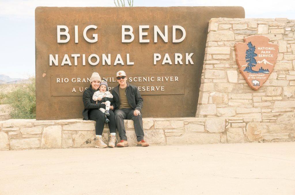
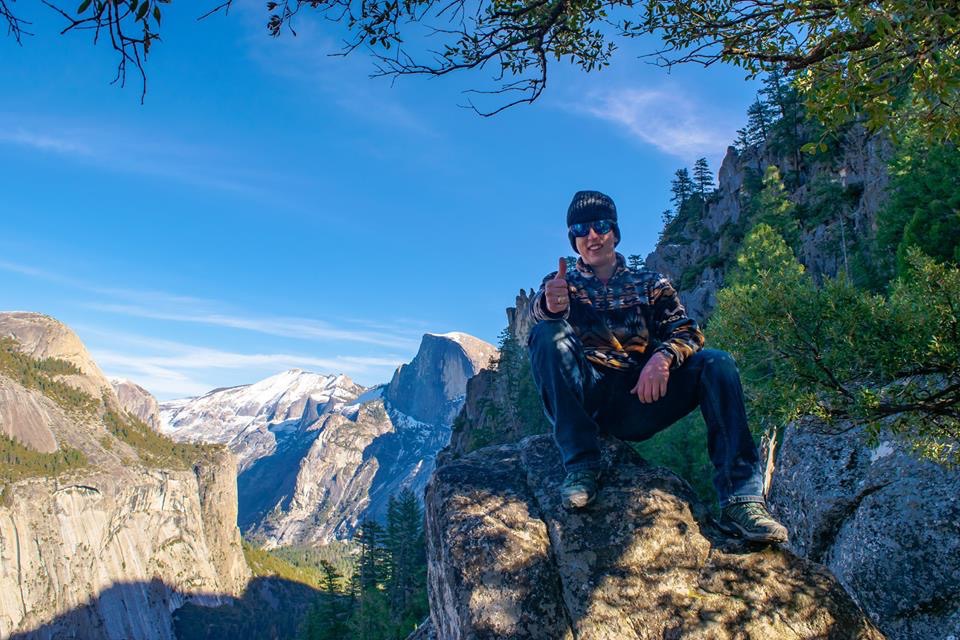
I'm Miguel.
I built Sendero Maps because I wanted more from a trail app — deeper context, smarter navigation, and the kind of knowledge that makes a hike feel like an expedition.
Based in Texas. Hiking everywhere.
Explore Trails Near You
100,000+ trails across all 50 states. AR navigation, trail knowledge, and audio guides — all free.
Start Exploring