Sendero Maps
Everything You Didn't Know
You Needed on the Trail
AR trail discovery, 3D AR navigation, and expert knowledge on every trail — all in one app. Built for hikers who want more than a GPS dot.
Explore Trails
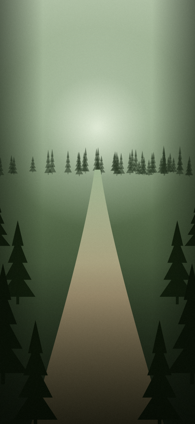
AR Trail Discovery
Point your phone at any landscape and Sendero overlays nearby trails directly onto your camera feed. See trail names, difficulty ratings, distances, and elevation — all floating in real space.
Trails visible up to 10km away with real-time compass tracking
Tap any label to instantly open the full trail info card
Labels scale with distance — closer trails appear larger and brighter
3D AR Navigation
A live green ground-path ribbon is drawn right onto the world ahead of you. Follow the trail through your camera with turn-by-turn cues — no more squinting at a blue dot on a flat map.
Turn-by-turn AR cues anchored to the real trail ahead
Works alongside the live Mapbox map and GPS tracking
Audio guidance triggers automatically as you approach each turn
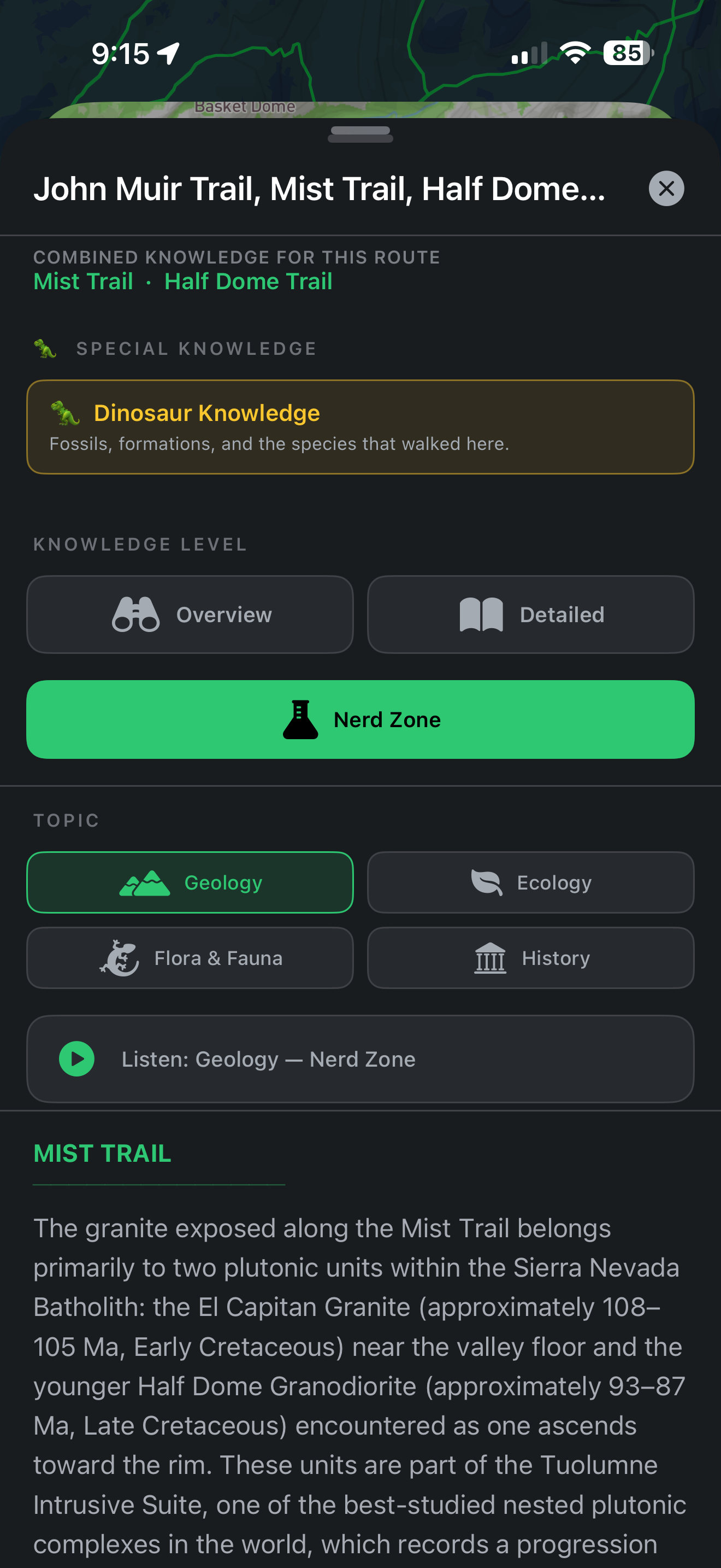
Trail Knowledge Panel
Geology, ecology, flora & fauna, and human history for every trail — in three depth tiers, from a quick Overview to a full Nerd Zone. Narrated by AI audio as you hike.
Three depth tiers — Overview, Detailed, and Nerd Zone
Switch topics — Geology, Ecology, Flora & Fauna, History
Special knowledge unlocks — fossils, dinosaurs, and more
AI-narrated audio for every section, with synchronized word highlighting
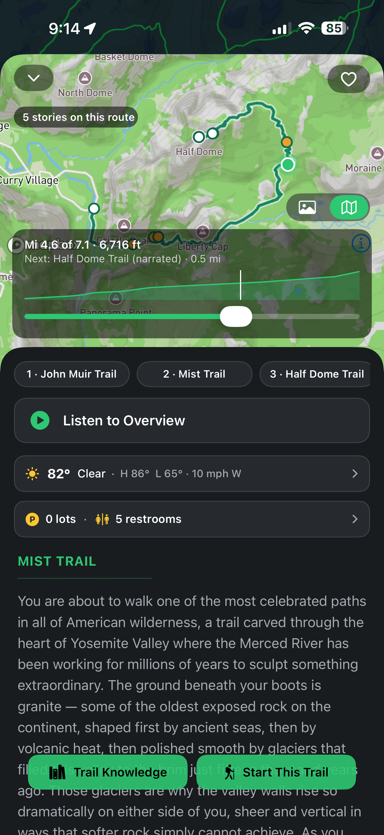
Trail Info & Overview
Know Before You Go
Every trail opens to a full info card — trail photos, distance, elevation, weather, and a narrated overview — so you know exactly what's ahead before your first step.
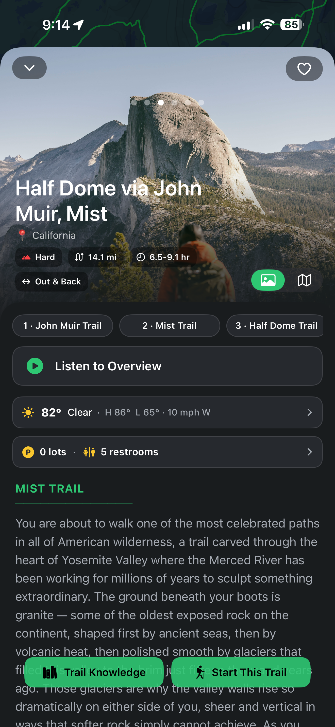
Try It — Explore a Real Trail
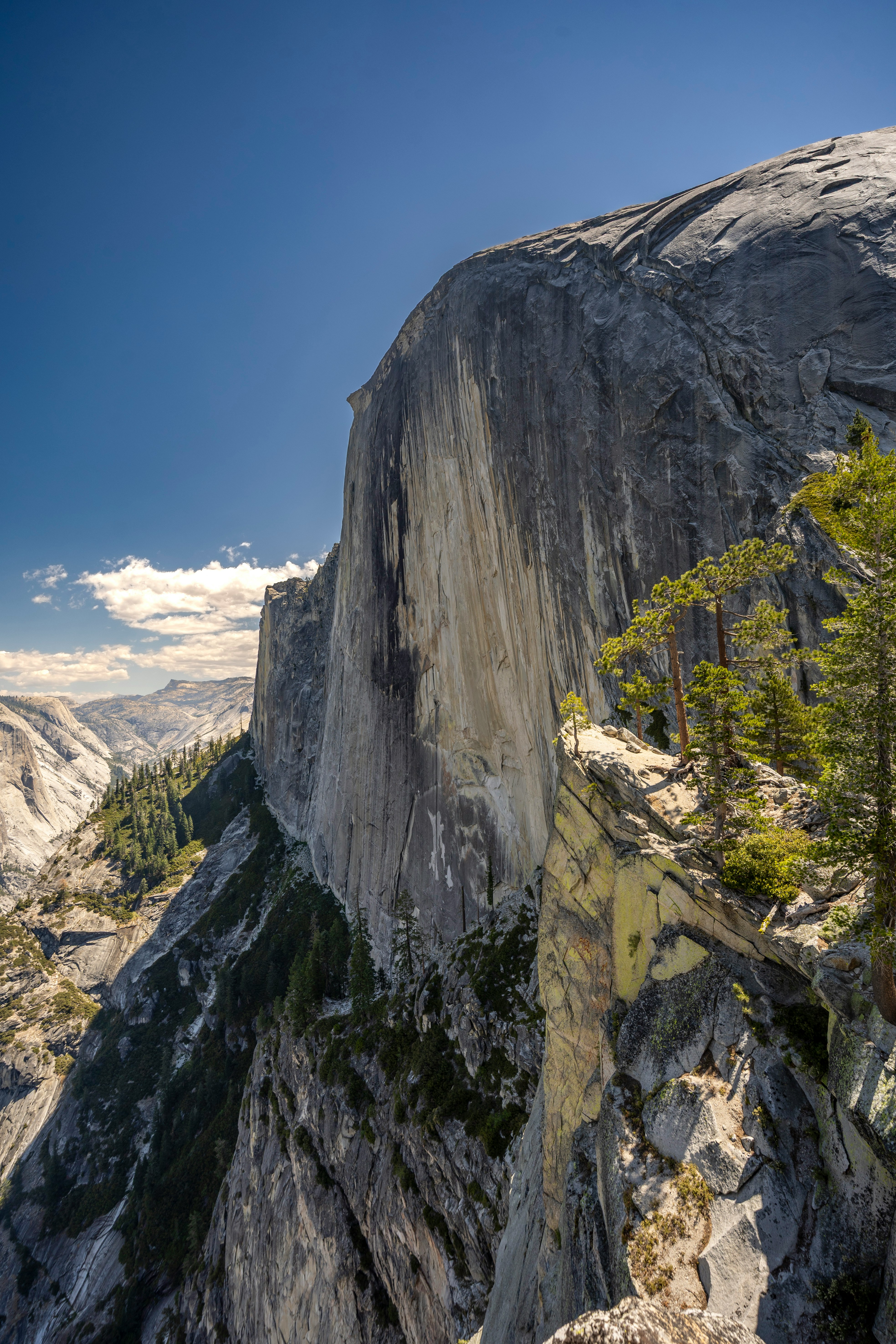
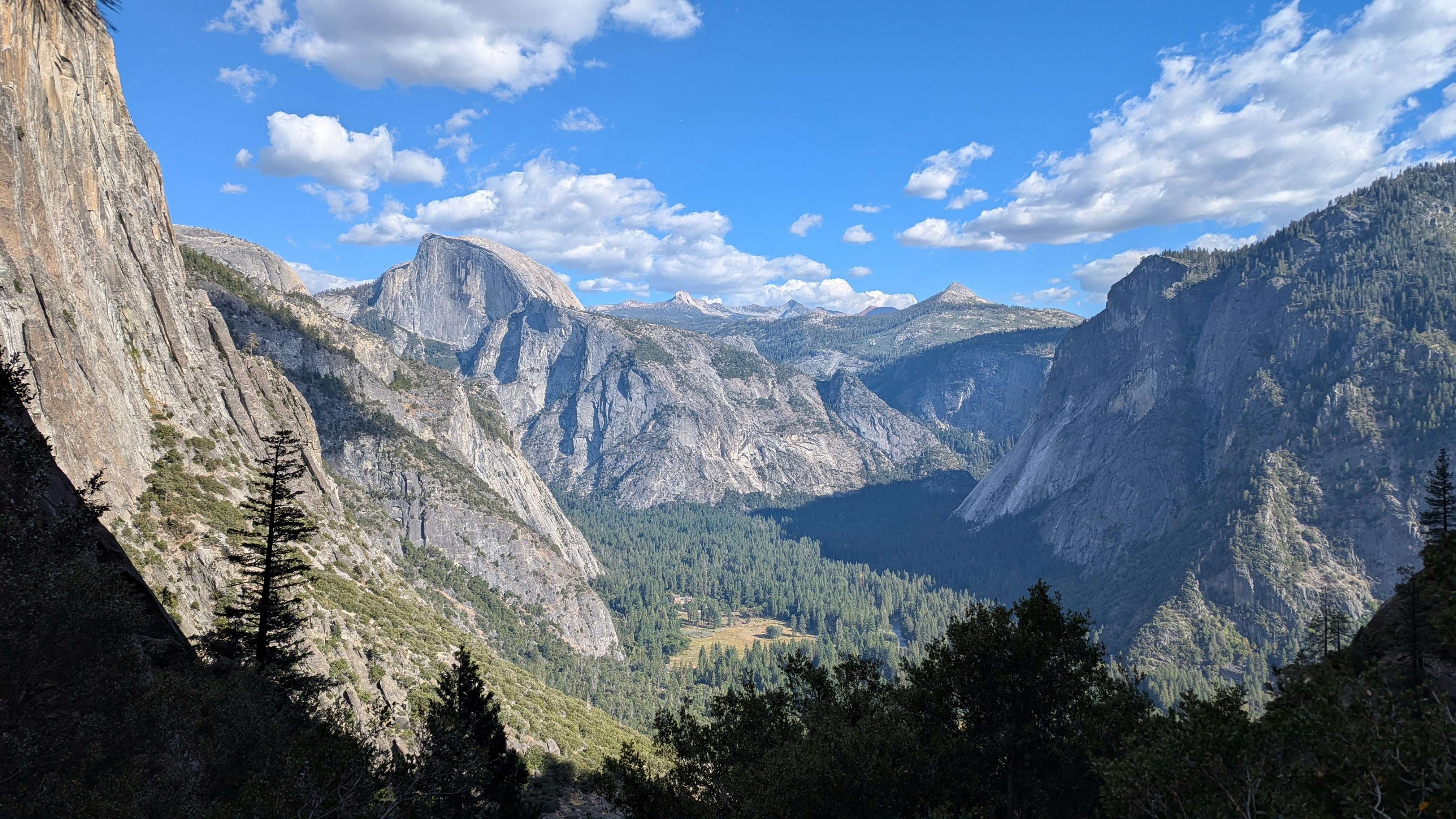
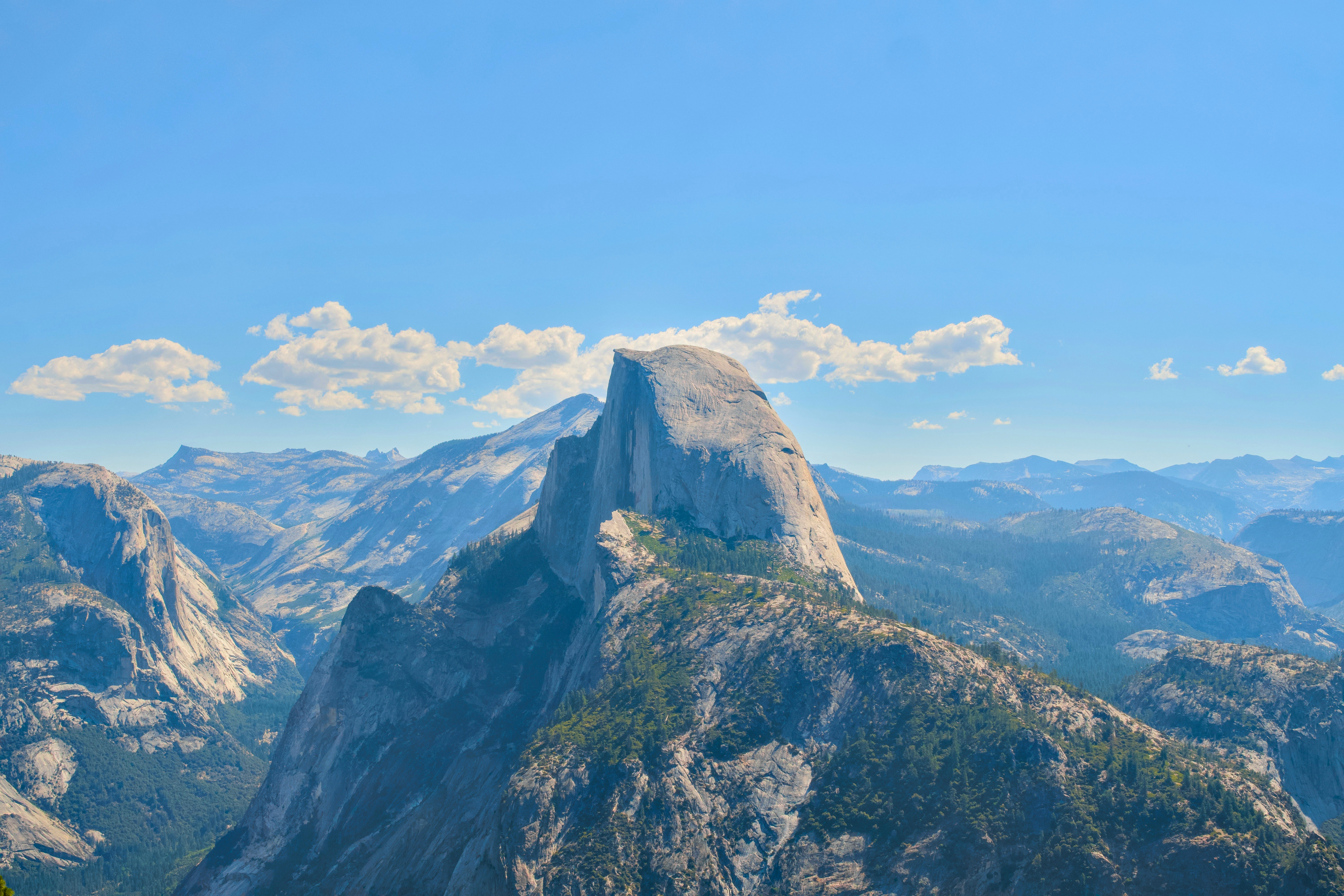
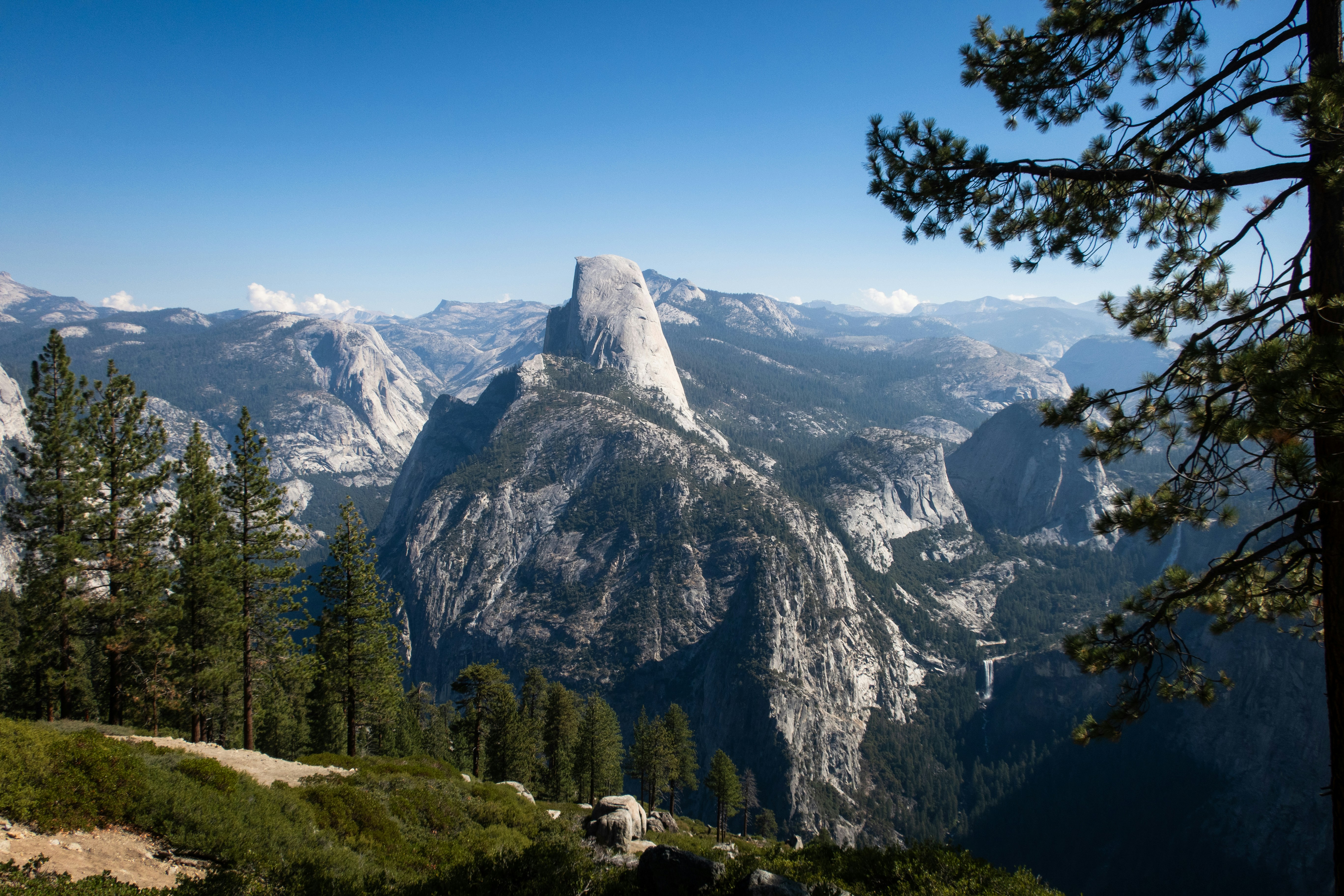
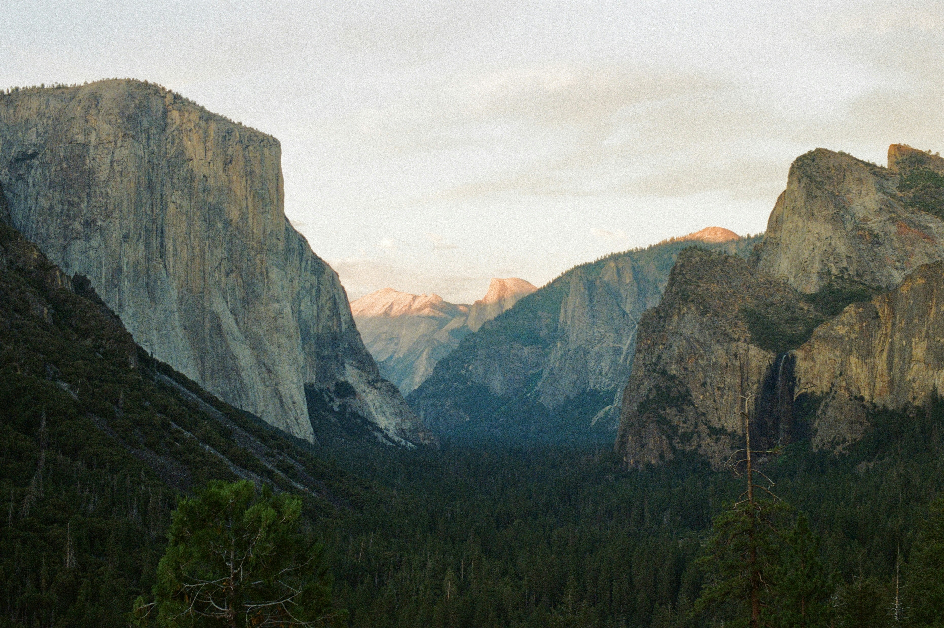
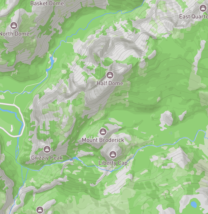
Half Dome via John Muir & Mist Trail
Tap through a real route the way you would in the app — switch trails, open the Trail Knowledge panel, start live tracking, and step into AR navigation.
Ready to Hike Smarter?
AR navigation, trail knowledge, and 100,000+ trails across all 50 states. See your trails like never before.