Your Trail.
Your Story.
Sendero Maps brings trails to life with AR Discovery, 3D navigation, and deep knowledge on the geology, ecology, and history of every path you walk — nationwide.
Coming to iOS · September 2026
What Makes Sendero Different
The Trail App That Thinks
Most apps just show you where to go. Sendero shows you what you're seeing, why it matters, and tells the story of every step.
AR Discovery Mode
Point your camera at any landscape and see nearby trails floating in real space. Tap any label to instantly pull up trail info, difficulty, and distance.
Learn more →3D AR Navigation
A live ground-path ribbon overlaid on your camera guides your every step. See the trail drawn right onto the world ahead of you.
Learn more →Trail Knowledge Panel
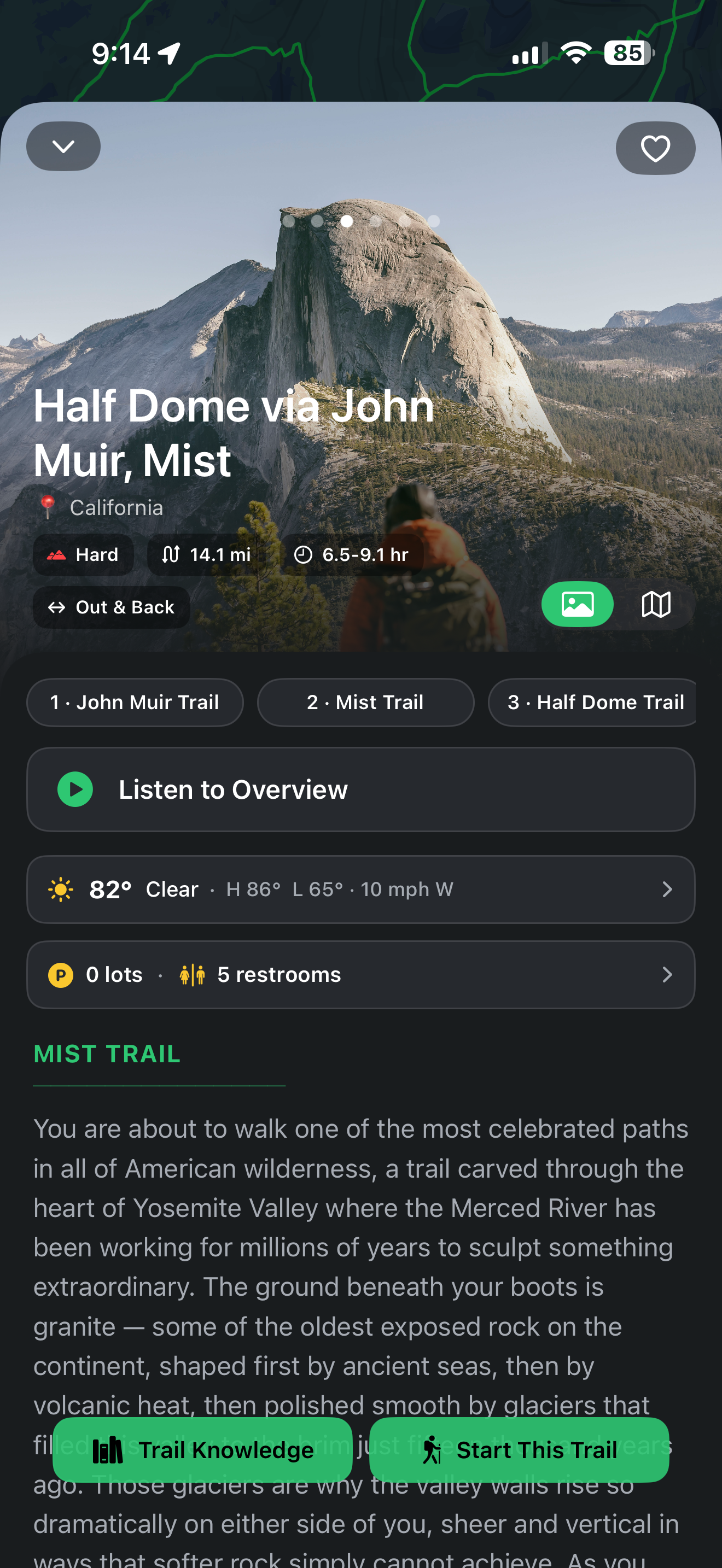
Geology, ecology, flora, and human history of every trail — in Overview, Detailed, or Nerd Zone depth. Narrated audio as you hike.
Learn more →Scout — Your Trail Companion
Ask anything about a trail, park, or region, plan a hike in plain language, and let Scout stitch combo routes — grounded in Sendero's real guide.
Learn more →Build Your Own Route
Tap waypoints that snap to real trails, watch distance and elevation update live, and save a route auto-named from the trails you cross.
Learn more →How it works
Three steps from trailhead to summit
Discover
Search with Scout, browse the map and its POIs, or spot trails in AR — find your next hike however you like.
Navigate
Follow the route on a clean 2D map, or step into the 3D AR ribbon drawn onto the trail ahead — turn by turn.
Learn
Open the Trail Knowledge panel for geology, ecology, and history — narrated as you hike.

Launching September 2026
Be first on the trail
Join the waitlist and we'll email you the moment Sendero Maps hits the App Store.
No spam — just one email at launch.